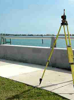
Surveying and GIS
Deploying state-of-the-art total stations, real time GPS and advanced CADD software, Contech, in connection with the independence team or associated survey company, provides a full range of survey and mapping services to land managers, planners, architects, engineers, builders and home owners.
Our services include:
• Gather and compile site information for the preparation of “Site Survey Plans” and Topographical Plans;
• Survey, prepare and process various registered plans, including Subdivision, Right of Ways, Roads, and Condominium plans;
• Field measurement of buildings and other site improvements for new construction;
• Compile legal and engineering surveying for roadways, sewers, shallow utilities and irrigation canals;
• Information gathering for preparation of Real Property Reports;
• Assist in the acquisition, survey and conveyance of land;
• Plot Plans and Building layout surveys for house and condominium construction;
• Acreage development surveys;
• Geodetic Control Surveys and Precise Monitoring Surveys;
• Road closure and Consolidation plans;
• Paving grading layout and quantity measurement;
• Mapping;
• GIS plan attribute and data management.